
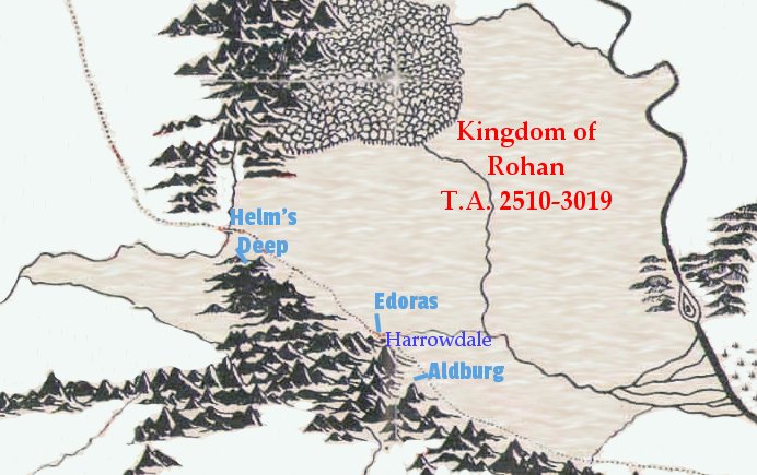
In this map of Rohan, the boundaries do not extend beyond the Adorn river in the west, although Freca is said to have owned lands on both sides o the river. J.R.R. Tolkien did not indicate if Rohan claimed all or part of the lands south of the Adorn to the Ered Nimrais. It is also unclear if Rohan claimed the hills on the west side of the Anduin, where Aragorn and the Fellowship landed their boats and the Orcs of Isengard attacked them. As Gondor’s power waned, the Rohirrim took responsibility for the defense of northern Anorien, but they did not claim that land for themselves. Finally, it is not clear where Isengard’s boundaries lay. The stories say that Rohan’s territory ended at the Isen river.